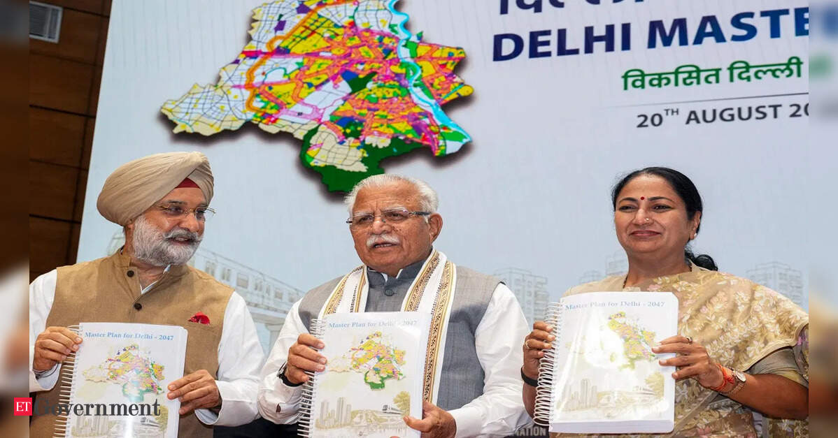
Delhi’s next skyline may be decided by floor-area ratios and redevelopment rules, but its future livability will be determined several metres below the ground—in water mains, sewers, stormwater drains, power cables and the institutional plumbing connecting the agencies responsible for them.
That is the central implementation challenge confronting the newly unveiled Master Plan for Delhi 2047 (MPD-2047). The plan seeks to prepare the national capital for a population of about 3.2 crore and envisages around 40 lakh additional dwelling units. Its strategy is necessarily ambitious: build more densely, redevelop ageing neighbourhoods, concentrate growth around mass transit and use Delhi’s scarce land more efficiently.
But Delhi does not have a single city government capable of translating that vision into reality. Planning, land, roads, water, sewerage, drainage, public transport, power, policing, municipal services and environmental regulation are distributed across institutions operating under different governments and statutory frameworks. MPD-2047, therefore, is as much a test of governance architecture as of urban planning.
From horizontal expansion to vertical redevelopment
The economic logic behind densification is compelling. Delhi cannot indefinitely expand outwards. MPD-2047 consequently places greater emphasis on brownfield redevelopment, mixed-use development and infrastructure augmentation, while proposing road-network-based planning for greenfield areas.
One potentially transformative provision is the reduction in the minimum area required for redevelopment of existing group housing, DDA and government housing—from 40,000 square metres to 3,000 square metres. The government estimates that redevelopment could generate around seven lakh additional dwelling units.
The challenge is that increasing permissible construction is easier than increasing urban carrying capacity.
Former Delhi Chief Secretary Shailaja Chandra has highlighted this mismatch, noting that constructing buildings is relatively straightforward compared with expanding the trunk infrastructure—water mains, arterial sewers, pumping stations, drainage networks, substations and roads—needed to support them. MPD-2047 projects potable-water demand at around 1,600 million gallons per day by 2047, compared with current availability of roughly 1,000 MGD, with part of the expected augmentation dependent on interstate water projects.
This makes infrastructure sequencing critical. If additional FAR and redevelopment permissions arrive before water, drainage, sewerage, electricity and road capacity are upgraded, densification could simply convert today’s infrastructure shortages into tomorrow’s larger urban bottlenecks.
TOD: Delhi’s biggest opportunity—and coordination challenge
Transit-oriented development (TOD) is central to the new urban model. Delhi already possesses an extensive Metro network, making the areas surrounding mass-transit corridors valuable territory for compact, mixed-use development.
The TOD regulations notified in April 2026 promote high-density, mixed-use development within 500 metres of Metro and RRTS corridors and railway stations. The government estimates that the corridor-based framework covers around 207 sq km, with MPD-2047 envisaging around 18 lakh affordable homes in TOD zones.
Done properly, TOD can reduce dependence on private vehicles, improve the economics of public transport and bring housing closer to employment and services. But high-rise buildings next to Metro stations do not automatically constitute transit-oriented urbanism.
Successful TOD requires pedestrian-friendly streets, feeder transport, multimodal interchange, controlled parking, public spaces, utility upgrades and coordination between land-use and transport planning. The older MPD-2041 framework itself envisaged integrated plans incorporating walkability, street improvements, parking management and multimodal integration projects around transit stations.
The institutional question is therefore unavoidable: who ensures that all these components arrive together?
DDA can establish planning norms, but Metro connectivity involves DMRC; roads may fall under different agencies; water and sewerage involve the Delhi Jal Board; municipal functions lie substantially with MCD; electricity distribution involves DISCOMs; major transport and infrastructure decisions can involve the Delhi government, Union government and other bodies.
Without a binding project-level coordination mechanism, TOD risks becoming density-oriented development rather than transit-oriented development.
Digital approvals must become more than online applications
MPD-2047 also arrives at a time when urban governance is increasingly capable of becoming digital. DDA’s Online Building Permit System already allows plans to be submitted electronically, provides online scrutiny and status reports, and now accepts applications under the TOD policy. MCD similarly operates an online building-plan approval system.
The next step should be deeper integration.
A genuinely digital building-approval regime should connect land records, GIS-based land-use information, building regulations, fire clearances, environmental requirements, utility capacity and completion certificates. DDA is already working towards digitised and geo-referenced layout plans on a GIS platform, incorporating plans sourced from multiple agencies.
That infrastructure could eventually enable something more consequential than paperless approvals: capacity-linked approvals.
Before permitting major additional density, the system could digitally verify whether the locality possesses adequate water, sewerage, drainage, road, power and social infrastructure capacity—or whether specified upgrades have been funded and scheduled.
Such integration would also improve transparency. Developers, residents and regulators could see not merely whether a building is permissible, but whether the surrounding infrastructure required by that development is actually available.
Delhi needs institutional accountability, not only institutional consultation
Delhi’s fragmented governance is not new. What MPD-2047 changes is the scale of the consequences if coordination fails.
The Master Plan can prescribe land use and development controls, but implementation ultimately requires dozens of investment and operational decisions by agencies outside the planning authority. Consultation among them is necessary; it is not sufficient.
The earlier MPD-2041 draft had proposed multi-agency monitoring committees covering environmental sustainability, the built environment and city vitality, with representatives of relevant departments and agencies. The principle remains important, but MPD-2047 will require something stronger: measurable responsibilities, agency-wise deadlines, infrastructure milestones and publicly visible performance indicators.
For every major redevelopment or TOD district, there should effectively be an implementation compact specifying who will provide additional water, sewerage, drainage, roads, power, public transport, schools, healthcare and public spaces—and by when.
The ultimate test of MPD-2047 will therefore not be how many towers Delhi builds.
It will be whether the capital can make its institutions work as one urban system. A denser and taller Delhi can be more productive, affordable and sustainable—but only if infrastructure grows with density and accountability grows with ambition. Delhi’s next master plan may have redesigned the city on paper. The harder task is redesigning the coordination required to deliver it.