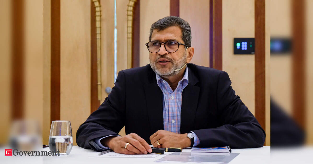
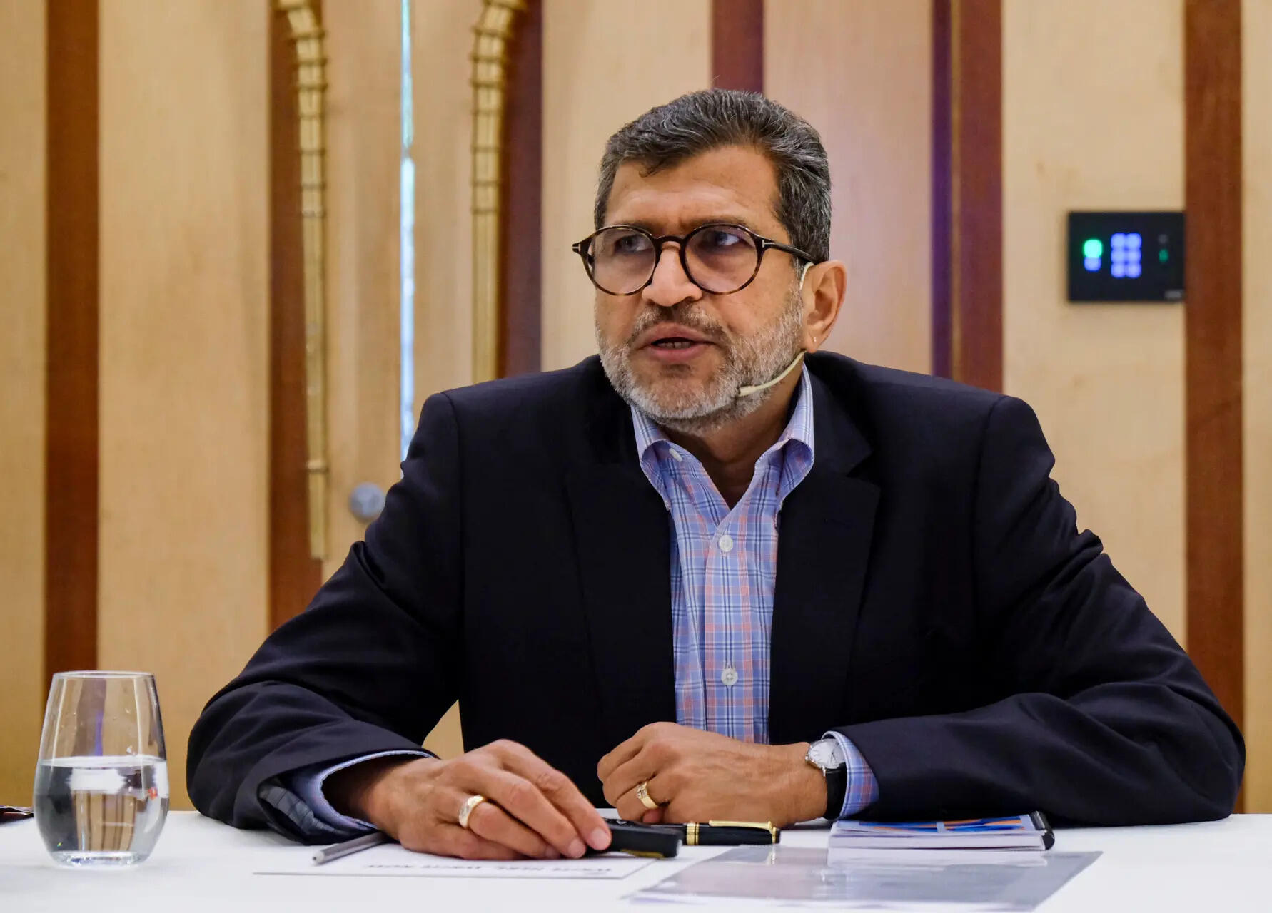
As geospatial technologies become increasingly central to urban planning, infrastructure, agriculture, disaster management and public service delivery, the focus is shifting towards wider access, data sovereignty and locally developed capabilities. Against this backdrop, Agendra Kumar, Managing Director, Esri India, discusses the development of GeoSARAL, a Linux-based desktop GIS platform developed largely in India.
In this conversation with Anoop Verma, Kumar argues that while sophisticated foundational GIS technologies are built for global markets and require decades of investment, India can create domestic capabilities by developing solutions on top of such foundational technologies. Kumar identifies urban governance, agriculture and infrastructure as three areas where GIS can have a major impact in India over the next five years.
Edited excerpts:
Esri India has described GeoSARAL as an indigenous GIS software. What exactly is indigenous about it? Was the core technology developed in India, and how much of the engineering and development resides with Esri India?
GeoSARAL has been built using a software development kit, but the entire application development on top of that has taken place in India by Esri India. A sizable amount of code has gone into the GeoSARAL application, so I would say that the Indian content in it is very high.
In any GIS software, there is a core engine involving the scientific and mathematical components. That is complicated technology and cannot be developed in a short period of time. There are only a few organisations, companies and communities globally that have been able to create technologies of that nature.
But building applications on top of that foundational technology gives us considerable flexibility in terms of adding features and developing new versions. This is the first version of GeoSARAL. We have already given it to some customers to try, and they have been quite happy with what they have seen and used.
We will continue adding features over time. The control over the development of GeoSARAL and the addition of new features will reside in India.
The Government of India has been emphasising technological self-reliance and reducing dependence on foreign technologies, particularly for critical digital infrastructure. Do you see GeoSARAL as a step towards giving Indian government agencies greater control over their geospatial technology stack?
It is definitely a step towards self-reliance. If the coding and application development are being done in India, and we know how the product has been designed, then modifications and the addition of new features remain within the control of the Esri India team. From that perspective, I think it is a major step.
Esri India does a significant amount of business with the government, and we always keep national sovereignty in mind. We continue to add features and functionalities specifically for users in India.
At the same time, we have to look at the practical aspect of developing foundational technologies. Esri started in 1969 and has created technology that is now used globally by a very large number of organisations and users. Creating a comparable foundational GIS technology specifically for the market of one country would require enormous time, investment and expertise, and may not necessarily be economically viable.
That is why many sophisticated technology products are developed by global companies serving global markets.
What is certainly possible in India is to use foundational algorithms, scientific libraries and other technologies that are available and build applications locally on top of them. That gives you considerable flexibility regarding how the technology is used, where it is deployed and who uses it. Importantly, the data does not have to go to another country; it can remain here.
GeoSARAL, for instance, can operate without an internet connection. It can also work as part of the ArcGIS ecosystem because ArcGIS already has a very large user base in India. We have close to 6,500 organisations using our technology in the country, and about 1.5 million people use ArcGIS in some application every day.
We therefore provide both options. GeoSARAL can be used as a standalone application without getting into the ArcGIS ecosystem, while organisations that already use ArcGIS can integrate it with their existing environment.
Why did you make Linux central to GeoSARAL? Is the demand coming particularly from government and institutional users?
One of the reasons we looked at developing something like GeoSARAL in India was that ArcGIS Pro, our professional desktop GIS technology, is not supported on Linux. Linux has a very large user base in India.
The market share of Linux on desktops in India is around 16.2%. That represents a significant user base. If you are unable to provide a Linux-based option, you are not addressing the requirements of a sizable section of users.
That is why Linux has been central to GeoSARAL. The core development took place for Linux, although we have also made GeoSARAL available on Windows.
Are you also seeking to provide a more affordable alternative for users who do not require sophisticated professional GIS capabilities?
GeoSARAL is currently positioned as a low-cost, Linux-based offering for some of the simpler GIS tasks. On the other side, we have ArcGIS Pro, which is designed for professional users who want to run AI algorithms, conduct advanced analytics or undertake sophisticated cartography and other computationally demanding GIS operations.
Within an organisation, there may be 30 people who require ArcGIS Pro capabilities and therefore have laptops with GPUs and high-end configurations. But you cannot necessarily provide that level of computing capability to everyone, nor does everyone require it. There are many other users who primarily need mapping, visualisation, editing and querying capabilities. GeoSARAL is designed to address that requirement.
Could that make GIS more accessible to institutions with limited budgets, including municipal bodies, panchayats and officials working in the field?
A municipal corporation, urban local body, forest department or water resources department, for example, could have a few ArcGIS Pro licences along with an ArcGIS Enterprise setup. At the same time, a much larger number of people who are engaged in fieldwork, data editing or creating maps could use GeoSARAL. This allows organisations to deploy different levels of GIS capability depending on the requirements of individual users.
Geospatial data can be highly sensitive, particularly in defence, infrastructure and critical utilities. What security architecture has been incorporated into GeoSARAL? Can organisations deploy it in completely isolated or air-gapped environments?
We provide the same level of focus on security that we have in our broader GIS environment. We ensure that security is built into GeoSARAL and that the data is managed appropriately and can remain within the organisation’s environment.
For ArcGIS Enterprise, we regularly obtain security certifications, including from CERT-In-empanelled agencies. GeoSARAL, as a standalone application, has its own security built into it.
If GeoSARAL is connected to ArcGIS Enterprise and the organisation then connects to the internet, the existing ArcGIS Enterprise security architecture comes into play. That is how we have designed the security framework.
Esri India’s technology is being used by around 6,500 organisations across government, industry, academia and the non-profit sector. From that vantage point, what are the three areas of Indian governance where GIS could produce the biggest measurable improvements over the next five years?
The first area is urban living and urban governance. Indian cities face a range of infrastructure challenges. Sometimes roads are not good; in other cases there are problems relating to solid waste management and other municipal services. GIS can help governments address many of these challenges much more effectively.
The second area is agriculture. GIS is already making a significant impact in agriculture and can contribute to improving productivity and initiatives aimed at increasing farmers’ incomes. The third major area is infrastructure. India is investing significantly in airports, railway modernisation, new highways and other large infrastructure projects. GIS is already playing a role in these sectors, but its contribution can become substantially larger.
One important development will be the emergence of living digital twins and the integration of artificial intelligence with geospatial technologies. Digital twins can enable sophisticated designs and simulations in a virtual environment before infrastructure is actually built. A living digital twin of a city, for example, can also help authorities address challenges such as urban flooding and traffic management.
I see significant impact coming from the convergence of GIS, AI and digital twins in these areas over the next several years.