India’s successful flight trial of an indigenous high-altitude platform could transform military surveillance, secure communications and intelligence gathering, strengthening the Armed Forces’ ability to monitor sensitive borders and maritime regions continuously.
The next frontier of military competition may lie neither in outer space nor in conventional airspace, but in the stratosphere, approximately 20 kilometres above the Earth. At this altitude, unmanned platforms can potentially remain airborne for weeks or months, observing strategic territories, tracking military movements and maintaining communications across vast geographical areas.
For India, confronted with complex security challenges along its northern borders and across the Indian Ocean, mastering this technology could provide a significant strategic advantage.
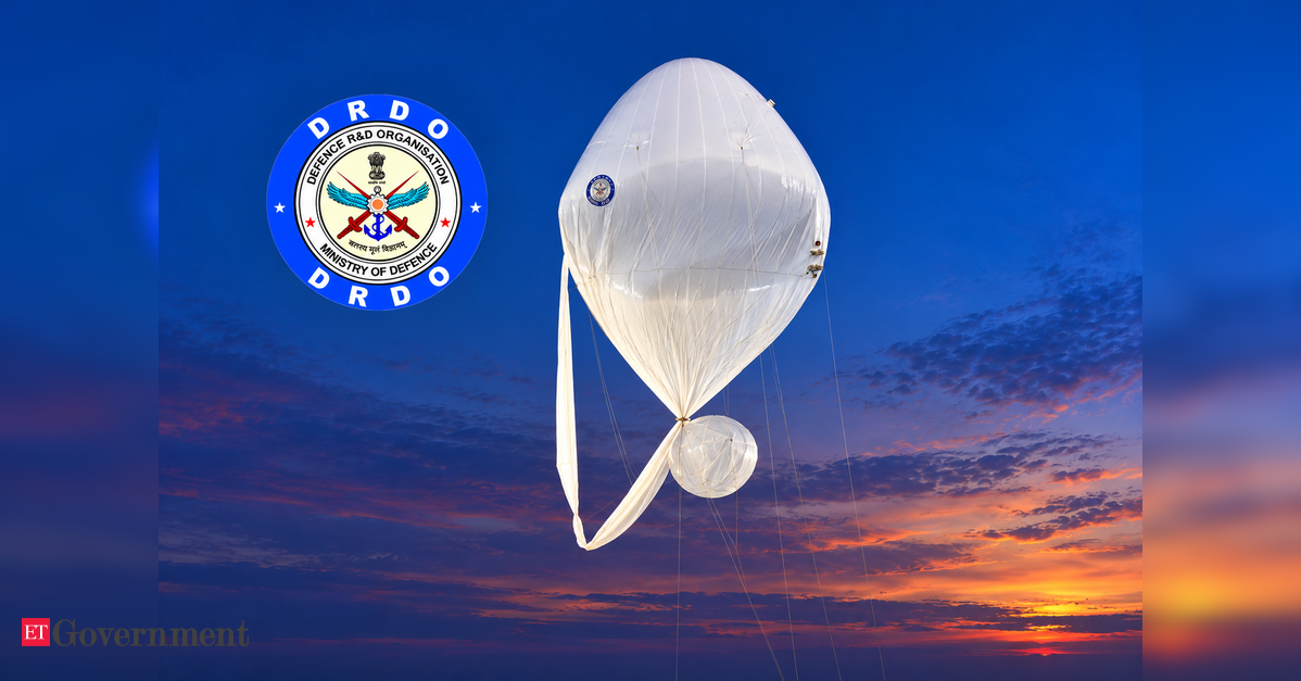
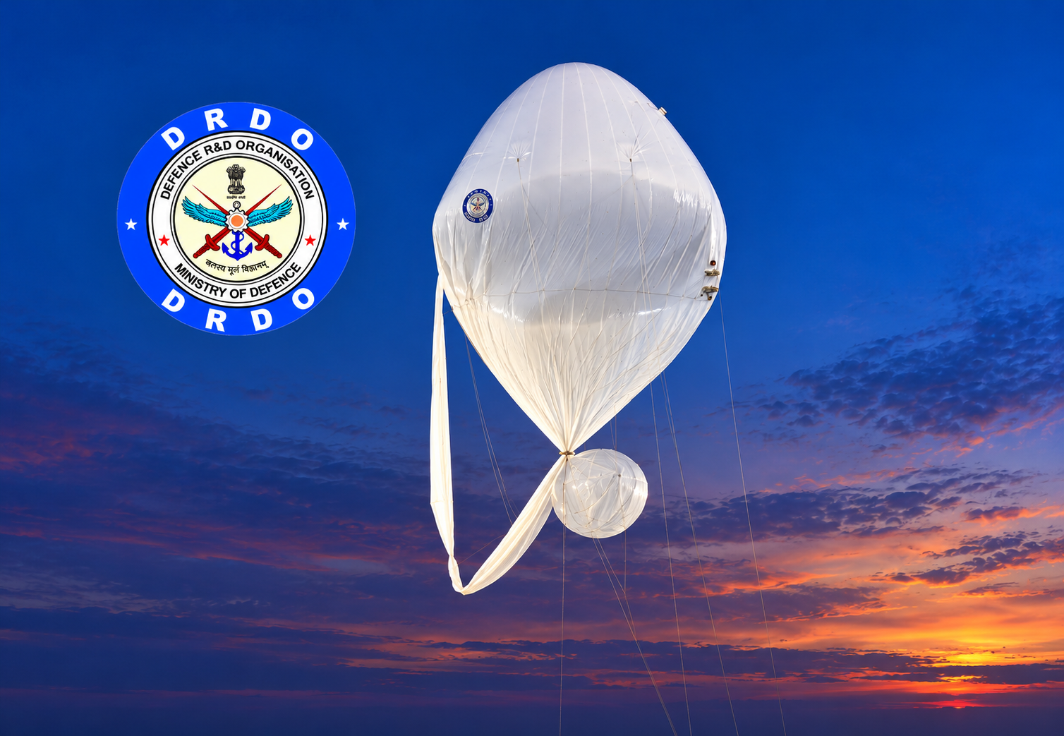
The Defence Research and Development Organisation (DRDO) has taken an important step towards acquiring this capability by successfully conducting a flight trial of an indigenously developed High-Altitude Platform System (HAPS). Announced by the Ministry of Defence on October 6, the trial demonstrated India’s growing technological capabilities in stratospheric surveillance and lighter-than-air aviation systems.
The experimental platform attained an altitude of 21 kilometres above mean sea level and remained at approximately 20 kilometres for more than 30 minutes before descending under command. The system was successfully recovered, and flight-performance data was subsequently analysed.
Although the flight lasted only a limited period, its significance lies in demonstrating the technological foundations necessary for developing an operational platform capable of sustained surveillance at extraordinary altitudes.
Defence Secretary Highlights Indigenous Capability
Defence Secretary Rajesh Kumar Singh, who also serves as Secretary, Department of Defence Research and Development, and Chairman of DRDO, congratulated the teams associated with the successful flight trial.
Defence Minister Rajnath Singh described the achievement as an important milestone in India’s Atmanirbhar Bharat journey towards developing a long-endurance stratospheric airship. He also commended DRDO, the Indian Air Force, public-sector undertakings and industry for their contributions.
The programme is being developed by DRDO’s Aerial Delivery Research and Development Establishment (ADRDE), Agra. The trial involved coordination with the Indian Air Force, Centre for Military Airworthiness and Certification, Directorate General of Civil Aviation, Airports Authority of India and other civil authorities.
During the flight, real-time video and vehicle parameters were transmitted to the ground control station. The platform carried navigation instruments, onboard cameras, GPS equipment and altitude-control mechanisms, demonstrating essential flight-management and telemetry capabilities.
These achievements establish an important foundation, although the transition from experimental flight to an operational military surveillance system will require substantially greater endurance and payload capabilities.
Why the Stratosphere Matters for India
India’s geographical and strategic circumstances make persistent high-altitude surveillance particularly valuable.
Along the Line of Actual Control with China, difficult mountainous terrain, extreme weather and extensive distances complicate conventional intelligence gathering. A stratospheric platform equipped with electro-optical sensors, infrared cameras or suitable radar systems could provide prolonged observation of strategically important sectors.
Such platforms could help monitor troop concentrations, infrastructure construction, logistics movements and changes in military deployments. Their ability to remain above conventional aviation routes could also reduce dependence on repeated reconnaissance sorties.
The Indian Ocean presents another compelling operational requirement. India’s maritime security responsibilities extend across vital shipping corridors, strategic island territories and approaches to important naval facilities.
High-altitude platforms could complement maritime patrol aircraft, coastal radar networks and satellites by monitoring selected oceanic areas, providing communications relay services and supporting maritime domain awareness.
Their greatest contribution may be persistence. Conventional aircraft require refuelling, maintenance and crew rotations, while low-Earth-orbit satellites repeatedly move beyond a particular observation area. A suitably designed stratospheric platform could maintain continuous surveillance over a designated region.
However, persistent coverage would depend on payload performance, atmospheric conditions and the platform’s ability to maintain its assigned position.
Global Competition for High-Altitude Platforms
Several advanced defence industries are investing in stratospheric systems, recognising their potential to bridge the operational gap between aircraft and satellites.
One prominent example is Zephyr, developed by Airbus subsidiary AALTO. This solar-powered unmanned aircraft is designed to operate above 60,000 feet, carrying surveillance or communications payloads.
In April 2025, Zephyr completed a record-breaking continuous flight lasting 67 days, six hours and 52 minutes, demonstrating the extraordinary endurance achievable through solar-electric propulsion and advanced energy management.
Another important programme is PHASA-35, developed by Britain’s BAE Systems through its subsidiary Prismatic. The aircraft has a 35-metre wingspan and is designed for persistent intelligence, surveillance, reconnaissance and communications missions. During trials in 2024, it completed a 24-hour flight, reaching more than 66,000 feet.
In September 2026, BAE Systems announced that PHASA-35 had been selected for a British research programme exploring power-beaming technology to sustain stratospheric aircraft independently of sunlight availability.
These international developments demonstrate that high-altitude platforms are evolving from experimental aerospace projects towards potentially deployable military and commercial systems.
India’s programme differs from these solar-powered fixed-wing aircraft because DRDO is developing a lighter-than-air stratospheric airship. Such designs could offer advantages in station-keeping and sustained operations, although their performance will depend heavily on propulsion efficiency, structural integrity and atmospheric conditions.
Changing the Character of Military Operations
Modern warfare increasingly depends on the speed with which armed forces can detect threats, process intelligence and distribute actionable information. Persistent surveillance platforms could strengthen this intelligence cycle by continuously observing sensitive areas and transmitting information to command centres.
They could also serve as airborne communications nodes, connecting dispersed military formations operating in mountainous regions or across extensive maritime theatres. In a conflict involving electronic warfare, satellite communications disruption or attacks against ground-based communications infrastructure, additional airborne relay systems could improve network resilience.
Nevertheless, stratospheric platforms would not be invulnerable. Their large physical profiles, limited manoeuvrability and dependence on secure communications could expose them to interception, electronic interference or other countermeasures.
Their operational value would therefore depend on integration with India’s wider intelligence, surveillance, reconnaissance and command-and-control architecture.
From Successful Trial to Operational Capability
For DRDO, the principal challenge now is translating the successful experimental flight into a reliable, long-endurance operational system. Future trials will need to demonstrate sustained station-keeping, effective power management, meaningful sensor payloads, secure data transmission and resilience against strong stratospheric winds.
The ability to maintain surveillance for days or weeks, rather than minutes, will be a decisive benchmark. Equally important will be the development of indigenous sensors, propulsion technologies, autonomous control systems and communications equipment.
Collaboration between DRDO, the Indian Air Force, public-sector companies and private industry could accelerate these developments while creating opportunities for domestic aerospace manufacturing.
Ultimately, India’s high-altitude platform programme represents more than an experimental aviation achievement. It reflects an emerging requirement for persistent intelligence and communications capabilities that complement satellites, aircraft and ground-based systems.
The October 6 trial does not yet establish operational readiness. But it marks a significant step towards giving India an indigenous presence in a strategically important layer of the atmosphere — one that could increasingly influence surveillance, military communications and the conduct of modern warfare.