

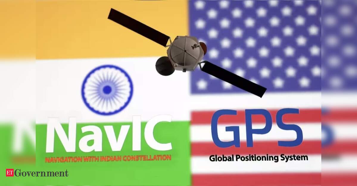

On 30 October, the Indian Space Research Organisation (ISRO) is scheduled to launch NVS-03 aboard the GSLV-F18 from Sriharikota. Few recent launches have carried as much strategic significance.In July, the Government informed Parliament that only three satellites (IRNSS-1B, IRNSS-1I and NVS-01) were providing NavIC positioning, navigation and timing (PNT) services, following the failure of the onboard atomic clock of IRNSS-1F earlier this year. Four operational satellites are needed to restore NavIC’s basic standalone positioning capability under the current constellation configuration. NavIC continues to provide timing services, but it cannot at present provide standalone positioning.NVS-03 could restore that minimum, provided it is successfully deployed, commissioned and integrated into the operational constellation, and its service is validated. The satellite carries an indigenous atomic clock alongside procured ones, and ISRO has applied corrective measures arising from the NVS-02 failure analysis.Its larger significance lies in the world into which it will be launched. Semiconductors, payment networks, cloud services, satellite connectivity and navigation signals, once treated as common and neutral global utilities, have become instruments of leverage. A nation that cannot assure its own position and time will find it difficult to assure much else.A lesson first learnt in Kargil
The 1999 Kargil conflict reinforced India’s awareness that access to a foreign navigation system did not amount to sovereign control over its availability, signal characteristics or restricted capabilities. That experience strengthened the case for an independent regional system, the Indian Regional Navigation Satellite System (IRNSS), later named NavIC.The programme was approved in 2006, and by April 2016 India had established the initial constellation, joining the small group of powers operating an independent satellite navigation system. The decade since has shown how much harder it is to sustain such a system than to establish it.The failure of atomic clocks aboard IRNSS-1A, the unsuccessful deployment of IRNSS-1H in 2017, the ageing of first generation satellites and the inability of NVS-02 to complete its orbit raising manoeuvre in 2025 exposed different vulnerabilities. Taken together, they point to one requirement. Reliable components, rigorous qualification and timely replacement must ensure continuity of service despite individual failures.When dependence becomes a weapon
Interference with satellite navigation is no longer an exceptional wartime act. In March 2025, the International Telecommunication Union (ITU), the International Civil Aviation Organization (ICAO) and the International Maritime Organization (IMO) issued a joint statement urging member states to protect satellite navigation frequencies from harmful interference, strengthen resilience and establish reporting mechanisms. Interference has been reported persistently over the Baltic, the Black Sea, the Strait of Hormuz and the South China Sea.India has also had its fair share of challenges in the domain. In March 2025, the Minister of State for Civil Aviation informed the Lok Sabha that around 465 GPS interference and spoofing incidents had been reported in the border region between November 2023 and February 2025. In December 2025, the Civil Aviation Minister told the Rajya Sabha that flights had reported GPS spoofing in the vicinity of Delhi’s Indira Gandhi International Airport, with similar occurrences at Kolkata, Amritsar, Mumbai, Hyderabad, Bengaluru and Chennai.This inference is a major cause for concern. Navigation interference has become a relatively inexpensive and persistent instrument that can be used to harass, test and coerce, even in peacetime. It sits alongside export controls, restrictions on financial channels and the selective availability of commercial platforms as part of a broader pattern in which technological dependence can be converted into strategic pressure.A foreign navigation service may be accurate and freely available to civilian users today, yet India does not control its signal policy, service architecture or future availability.India should continue to use multiple constellations. Combining GPS, GLONASS, Galileo, BeiDou and NavIC signals can improve availability and positioning performance. Interoperability, however, must complement sovereignty and cannot substitute for it.The military case in a contested spectrum
Precision weapons, unmanned platforms, military logistics, surveillance systems and command and communications networks depend on accurate position and precise time. An adversary need not destroy a satellite to degrade these capabilities. Jamming and spoofing at the receiver can achieve significant disruption at a fraction of the cost of attacking space infrastructure.NavIC is not immune to such threats, and a regional constellation cannot by itself guarantee uninterrupted navigation. Its distinctive strategic value lies in an authorised, encrypted Restricted Service under Indian control. This gives India a sovereign navigation capability that no foreign system can offer on its behalf, even though it shares the physical and technical vulnerabilities of all satellite navigation.India therefore needs a layered architecture, with NavIC as its sovereign core, supported by multi-constellation receivers, inertial navigation, terrestrial alternatives and the ability to detect manipulated or inconsistent signals. Platforms deployed along the northern and western borders and across the maritime approaches must be tested and exercised under conditions in which satellite navigation is degraded or unavailable.The same logic extends to civilian systems. Telecommunications networks, power grid synchronisation and financial market timestamps rely, in varying degrees, on satellite derived time. Timing is the least visible element of PNT and, for critical infrastructure, often the most consequential.From being a user to a providerA world that is weaponising technology also needs states willing to model restraint, and India is well placed to play that part. Its experience with digital public infrastructure has demonstrated how sovereign capability can be developed to serve wider public needs rather than simply become an instrument of leverage.NavIC’s open civilian service covers India and a region extending approximately 1,500 km beyond its borders. It can offer neighbouring countries and maritime users within its coverage area in the Indian Ocean an additional navigation option operated by India. The IMO’s recognition of NavIC in 2020 as a component of the World-Wide Radio Navigation System for operation in Indian Ocean waters provides a foundation for this role.India can also bring credibility to the international norms debate. As a country whose own airspace has experienced sustained interference, it has standing to press, at the ITU, ICAO and IMO, for firmer commitments against peacetime interference with civilian navigation signals, along with better attribution and more systematic reporting.A provider of sovereign PNT that operates its system responsibly is in a stronger position to help shape those rules than a country that depends entirely on others.What India must do now
India’s next task is to measure progress by assured service rather than by launches. Constellation continuity must come first, with replacement satellites built and launched before existing ones fail, and with sufficient redundancy that the loss of one spacecraft does not interrupt standalone positioning.The NVS-02 experience reinforces the need for component qualification, independent verification and end-to-end validation, with lessons from every anomaly carried systematically into later missions.Adoption must accelerate in parallel. The L1 signal introduced with the NVS series opens the door to wider use in consumer devices. Procurement requirements, certification standards and industry incentives should help build a domestic base of NavIC capable chipsets, receivers and software across military and civilian platforms.Ground control, precision timing, monitoring and signal authentication must be treated as integral parts of the capability. A constellation cannot deliver assured service without dependable infrastructure on the ground. Critical users, finally, must know how their systems behave when signals are unavailable or manipulated, and alternative navigation and timing methods must be exercised regularly.Coordinating this effort calls for a national PNT resilience framework, anchored in the National Security Council Secretariat, that brings together ISRO, the armed forces, the Department of Telecommunications, the Reserve Bank of India, power grid operators, airports, ports, research institutions and industry.A capability that must be sustained
NVS-03 is an important milestone, but its value will depend on a successful launch, orbit raising, commissioning and integration into a functioning constellation, with NVS-04 and NVS-05 to follow. Strategic autonomy comes from the ability to operate, maintain, renew and use an indigenous technology reliably over time.For a country seeking greater autonomy in defence, technology and critical infrastructure, the ability to determine its position and maintain precise time cannot remain contingent on another nation’s decisions. NavIC gives India the foundation for that ability and, in a contested world, the opportunity to help others secure it too.(Lt Gen M U Nair (Retd) is a former National Cyber Security Coordinator and former Signal Officer-in-Chief of the Indian Army.)
