

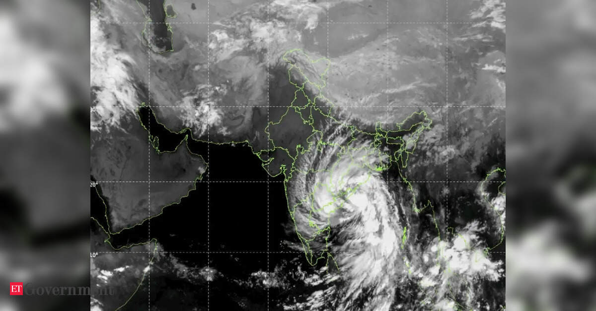
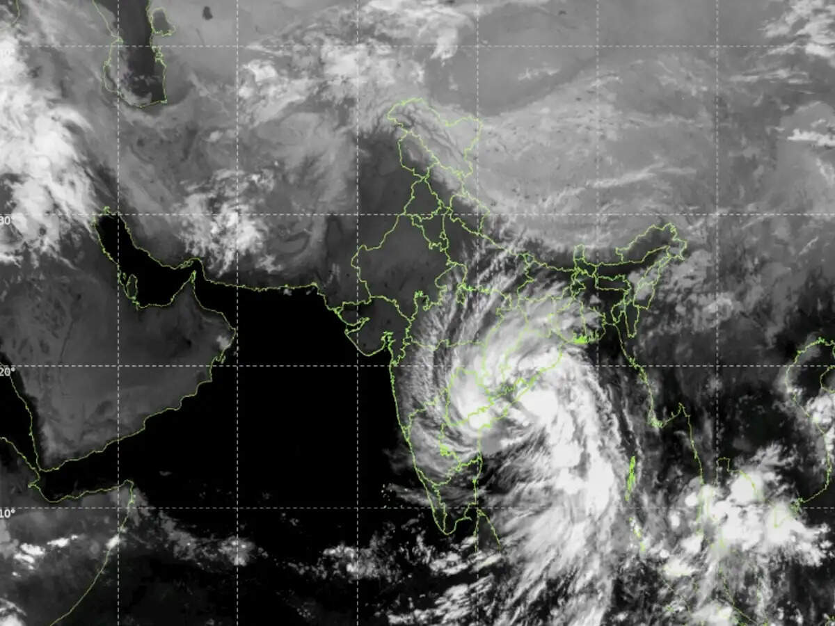
Before Cyclone Mayavi even touched the eastern coast on November 18, 2026, more than 10,000 pregnant women along Odisha’s vulnerable shoreline were already safe. As the storm churned across the Bay of Bengal, coastal communities did not wait in blind panic.Guided by accurate, satellite-driven weather forecasts, local authorities mounted a swift, targeted evacuation well before landfall. For ordinary citizens watching the news, that single statistic told a quiet yet extraordinary story: India’s space programme has evolved from a distant scientific ambition into an everyday shield protecting human lives.To grasp how profoundly things have changed, we need only cast our minds back to November 1977. When a monster cyclone slammed into the Andhra Pradesh coast that year with 230 km/hr winds and seven-meter storm surges, there were no high-resolution orbital eyes tracking its every move. The storm claimed over 10,000 lives – with some estimates reaching 50,000 – and flattened over a million homes.Nearly three decades later, in December 2004, the Indian Ocean Tsunami struck with devastating suddenness, killing more than 10,500 people in India alone. Both tragedies carried a painful lesson: while we cannot stop nature’s fury, mass loss of life happens when we fail to see danger coming or warn people in time.Over the past few decades, the Indian Space Research Organisation (ISRO), working together with the India Meteorological Department (IMD) and disaster response forces, has transformed that vulnerability into resilience. Today, when a deep depression forms over warm tropical waters, it no longer sneaks up on unsuspecting villages under the cover of darkness. Instead, it is watched, measured, and modelled around the clock from 36,000 kilometers above the Earth.At the heart of this transformation is an invisible constellation of satellites keeping vigil over the Indian Ocean. Geostationary weather satellites like INSAT-3D, INSAT-3DR, and the advanced INSAT-3DS capture high-resolution atmospheric snapshots every few minutes, tracking cloud formation, moisture levels, and subtle temperature shifts across the subcontinent.Working alongside ocean-observing satellites such as Oceansat and all-weather synthetic aperture radar satellites like RISAT, they peer right through thick, blinding storm clouds to measure sea-surface temperatures, wave heights, and surface wind speeds.Meteorologists feed this continuous torrent of orbital data into sophisticated numerical weather prediction models. The result is an ability to pinpoint where a cyclone will form, how rapidly it will intensify, and the exact stretch of coastline it will strike days in advance. Instead of issuing vague, sweeping warnings that disrupt entire states and breed public fatigue, officials can now execute calm, surgical evacuations. When warnings are precise, people trust them – and when people trust warnings, they move in time.Yet India’s space-based Disaster Risk Reduction (DRR) architecture stretches far beyond tropical cyclones. Through ISRO’s Disaster Management Support Programme and open-access platforms like Bhuvan and MOSDAC, near-real-time satellite imagery has become an indispensable tool for local administrators across diverse terrains.During the annual monsoon, optical and radar satellites map advancing floodwaters in Assam, Bihar, and Kerala, helping relief teams identify marooned villages and plan airdrop corridors. In the fragile slopes of the Himalayas and the Western Ghats, satellite data helps geologists monitor terrain shifts and identify landslide-prone zones before tragedy strikes.Further inland, orbital sensors detect forest fires within hours of ignition, allowing state forest departments to contain blazes before they consume vital biodiversity. During dry spells, multi-spectral imagery tracks soil moisture and vegetation health across thousands of districts, giving policymakers early indicators of agricultural drought so crop insurance and relief measures can be mobilized proactively.And following the 2004 tsunami tragedy, India built a world-class Tsunami Early Warning System in Hyderabad linked via satellite communication buoys across the Indian Ocean, ensuring coastal towns receive verified alerts within minutes of an undersea earthquake.Equally crucial is how space technology bridges the “last mile” when terrestrial networks collapse under extreme weather. Cyclones and floods routinely snap power lines and knock out mobile towers, leaving communities cut off at the exact moment they need help most.Satellite-based communication terminals and mobile satellite services step into that void, keeping National Disaster Response Force (NDRF) teams, district magistrates, and state control rooms connected. Meanwhile, India’s homegrown navigation system, NavIC, transmits direct storm warnings and potential fishing zone advisories straight to fishermen’s handheld devices out at sea, turning hundreds of boats back toward harbor long before rough weather hits.The everyday socio-economic dividends of this orbital infrastructure are immense, even if they rarely command dramatic front-page headlines. When Vikram Sarabhai envisioned India’s space programme more than half a century ago, he insisted that space technology must be applied to the real problems of man and society.Every cyclone tracked accurately fulfils that founding promise. It saves not only human lives, but thousands of livelihoods – protecting cattle, fishing boats, standing crops, and fragile rural economies from ruin. Long after the storm clouds clear, India’s greatest space achievement remains remarkably down-to-earth: ensuring that when nature strikes, nobody is left behind in the dark.(Dr. V.S. Hegde an Indian Space Scientist; formerly – CMD of Antrix Corporation Ltd/ Scientific Secretary, ISRO/ Director, Earth Observations & Disaster Management Support Programmes, ISRO; Views expressed are personal)
